Book your Via Lattea vacation
Book now
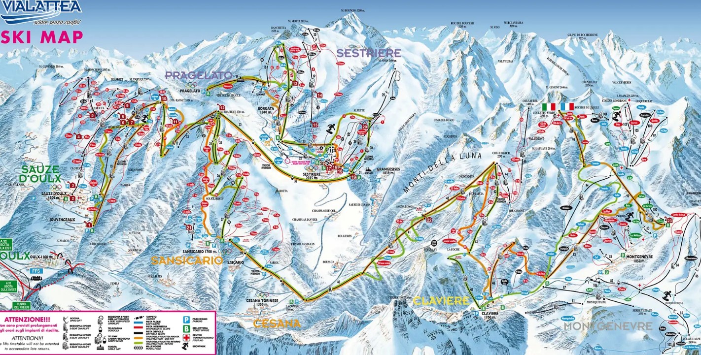
Navigate the slopes of Via Lattea like a pro with our extensive collection of trail and village maps.
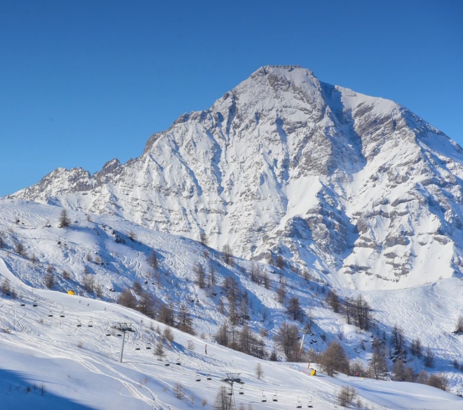
Via Lattea, also known as the Milky Way in English, is a large ski resort located in the Val di Susa near Turin, Italy, and extending into France. It combines five distinct resorts into one interconnected ski area. Via Lattea encompasses five resorts: Sestriere, Sauze d’Oulx, Oulx, Sansicario, and Claviere in Italy, along with Montgenevre in France.
The closest major airport to Via Lattea is Turin Airport, but you can also reach the resort via airports in Milan, Lyon, Paris, and Geneva. Oulx is the gateway town, with excellent train and bus connections. Find out more
December - April
Piazza Agnelli, 4, 10058 Sestriere TO, Italy
www.vialattea.it/
@vialattea.official
Top Elevation | 2789 |
Base Elevation | 1372 |
Avearage Snow | 6m |
Lifts | 69 |
Gondolas | 5 |
Marked Trails | 247 |
Park | Available |
Longest Run | 9km |
Beginner | 24% |
Intermediate | 55% |
Expert | 21% |