Book your Okunakayama Kogen vacation
Book now


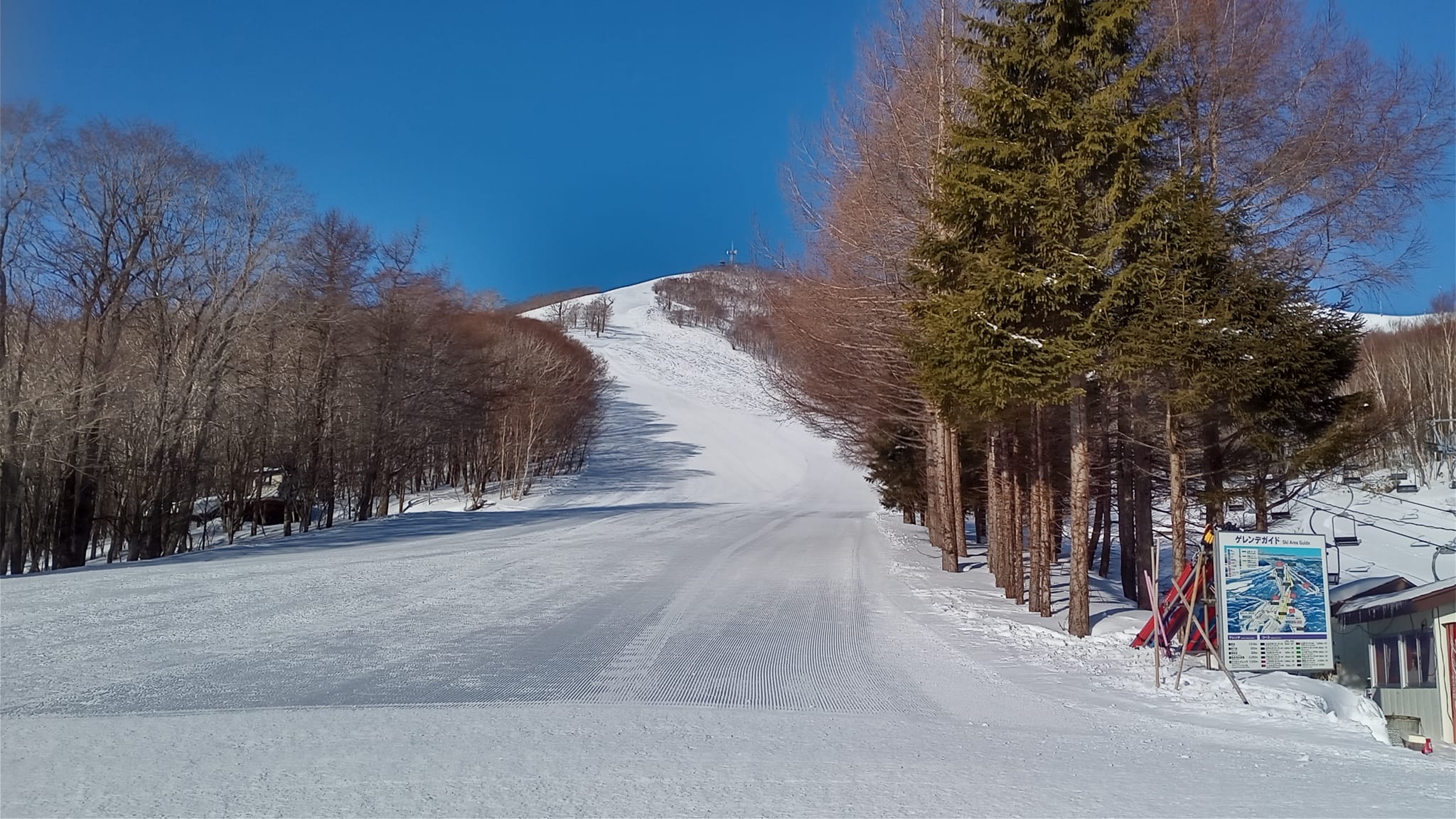

Covering a large area with 11 courses in 10,000m of total runs.
Download MapNavigate the slopes of Okunakayama Kogen like a pro with our extensive collection of trail and village maps.
The ski resort is located in Iwate Prefecture between Ichinohe and Iwate towns. It is approximately 50 minute drive from Tokyo and 40 minutes from Misawa/Hachinohe.
December - March
Nishitako Okunakayama, Ichinohe, Ninohe District, Iwate 028-5134, Japan
www.okunakayamakogen.jp/en/
Top Elevation | 1018m |
Base Elevation | 650m |
Avearage Snow | 1.5m |
Skiable Terrain | 55ha |
Lifts | 5 |
Gondolas | 0 |
Marked Trails | 11 |
Longest Run | 2km |
Beginner | 40% |
Intermediate | 30% |
Expert | 30% |