Book your Hochzillertal vacation
Book now


Navigate the slopes of Hochzillertal like a pro with our extensive collection of trail and village maps.
Hochzillertal is located in the Zillertal (Ziller valley) of Tyrol (Tirol) state, Austria. The ski resort is situated either 51km (Fügen), 58km (Kaltenbach), or 65km (Hochfϋgen) east of Innsbruck.
The closest major international gateway airports to Hochzillertal are Munich (MUC) and Zurich (ZRH), with Innsbruck Airport (INN) providing access from flights within Europe and the UK only.
Travel to the Zillertal is convenient by road or rail from all airports. The closest major train station to Hochzillertal is Jenbach, from where the Zillertalbahn connects to Fϋgen and Kaltenbach. The Zillertal Railway (Zillertalbahn) runs regularly through the valley to Mayrhofen. Public buses also make the journey, although less frequently.
December - April
Postfeldstraße 7 A 6272 Kaltenbach, Tyrol Austria
www.hochzillertal.com/de/
@hochzillertal
Top Elevation | 2400 |
Base Elevation | 600 |
Lifts | 39 |
Gondolas | 6 |
Marked Trails | 43 |
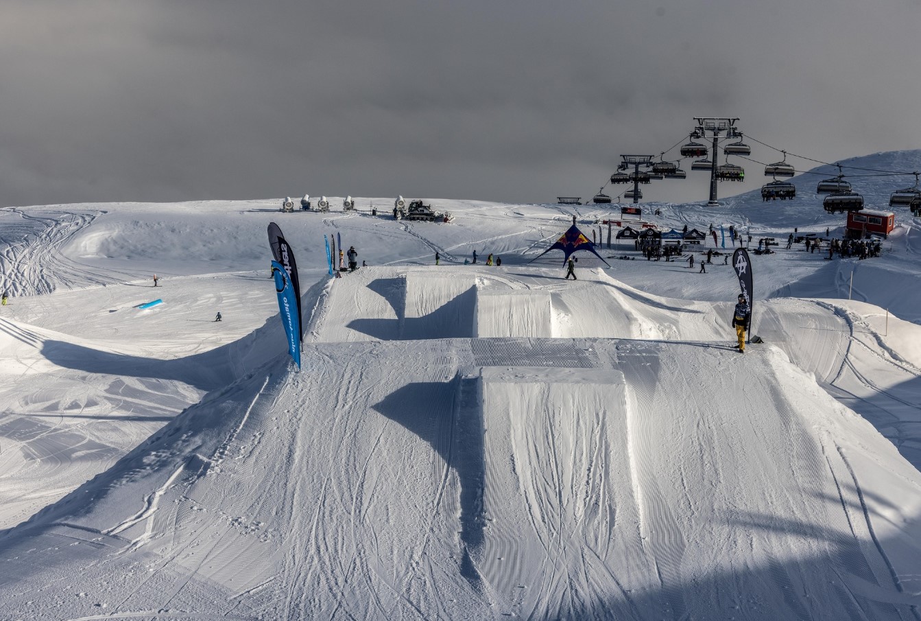
Park | Available |
Longest Run | 11km |
Beginner | 32% |
Intermediate | 46% |
Expert | 22% |