Book your Les Orres vacation
Book now
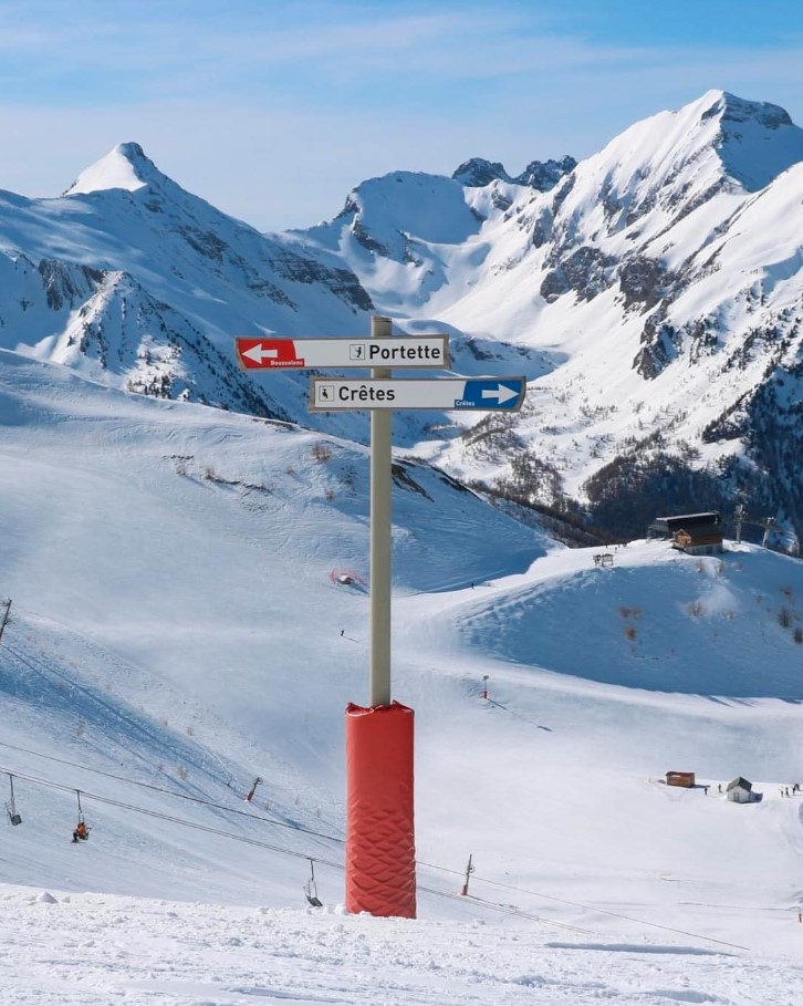
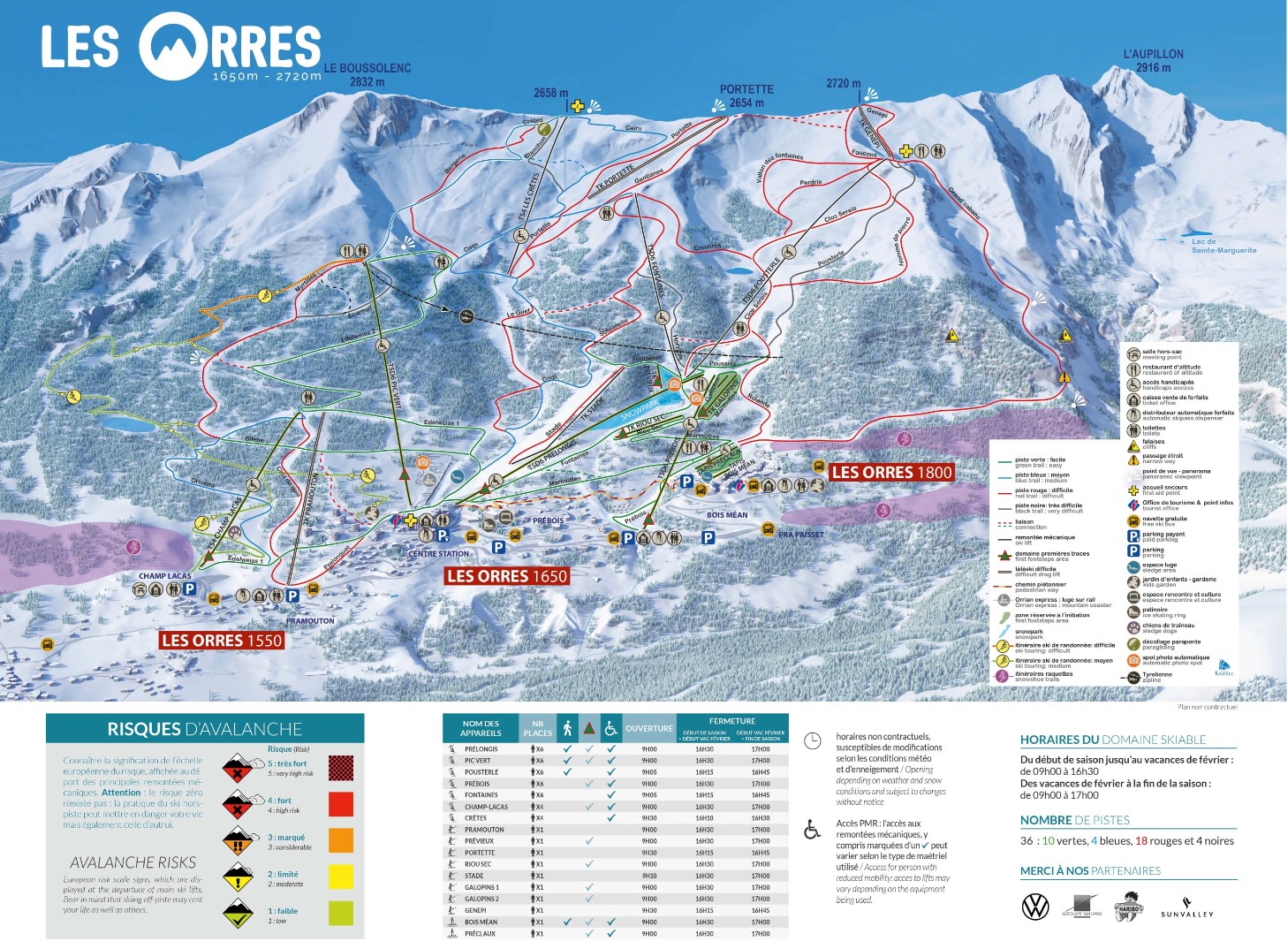
Navigate the slopes of Les Orres like a pro with our extensive collection of trail and village maps.
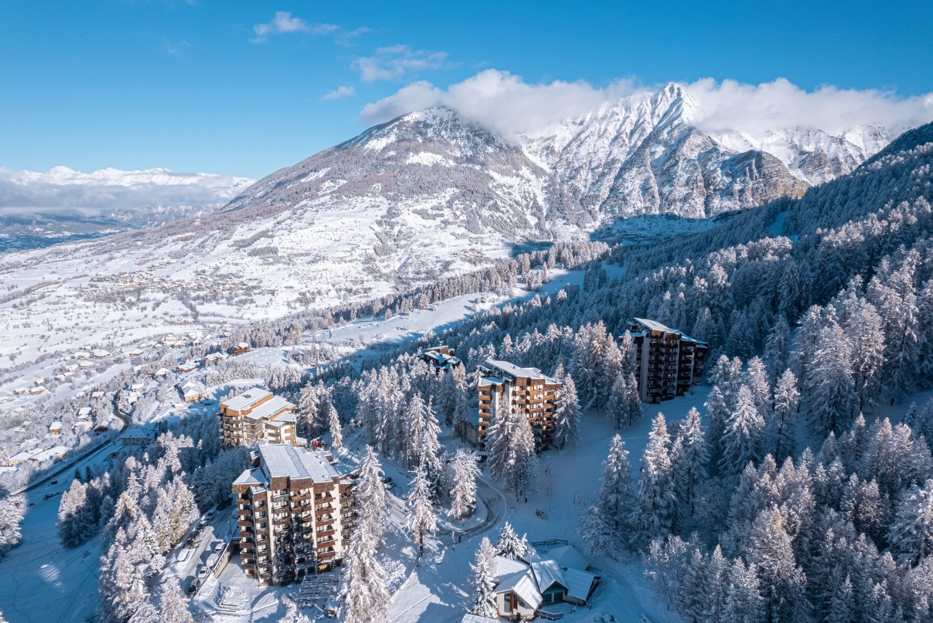
Les Orres is located in the Hautes-Alpes department within the Provence-Alpes-Côte d’Azur region of France.
There are 6 Airports within a 3-hour drive of Les Orres, including Avignon, Chambery, Grenoble, Marseille Provence, Turin Caselle, and Turin Cuneo.
Airports near Les Orres
Avignon (3 hours)
Chambery (3 hours)
Grenoble (2.5 hours)
Marseille Provence (3 hours)
Turin Caselle (3 hours)
Turin Cuneo (3 hours)
December - April
Centre station 05200 LES ORRES, Hautes-Alpes France
www.lesorres.com/
@lesorres
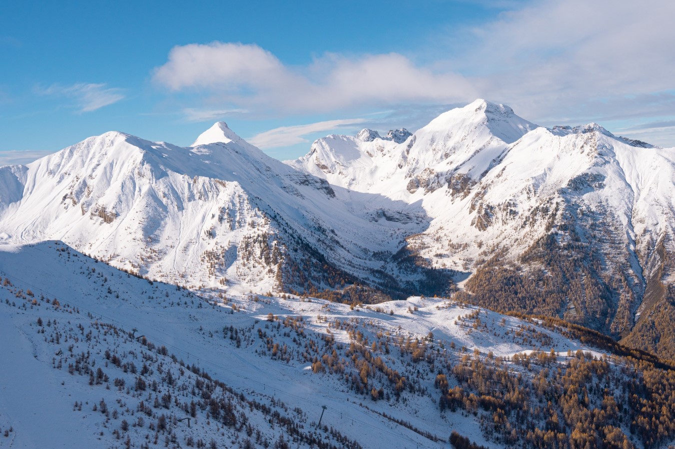
Top Elevation | 2720 |
Base Elevation | 1550 |
Avearage Snow | 1.5m |
Lifts | 17 |
Gondolas | 0 |
Marked Trails | 37 |
Park | Available |
Longest Run | 7.2km |
Beginner | 30% |
Intermediate | 60% |
Expert | 10% |