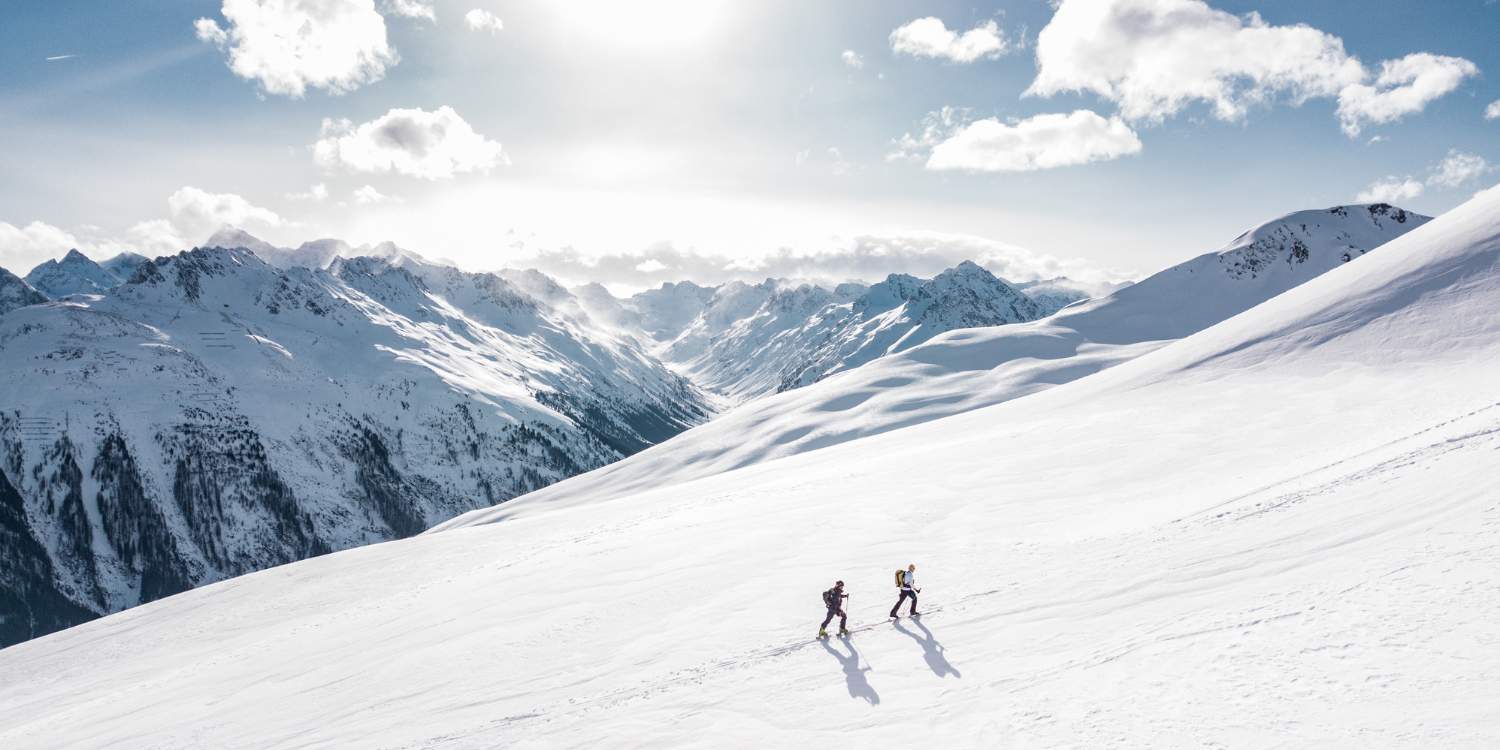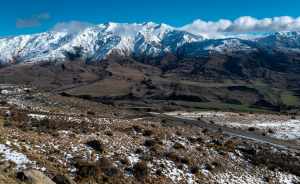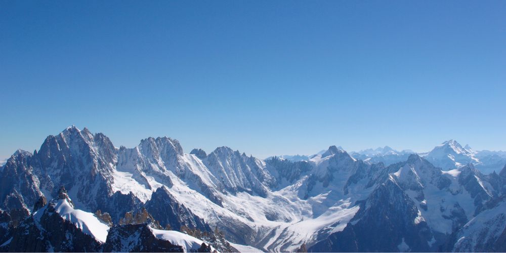
Latest observations of snow conditions in Argentina
Antillanca Weather
(Next 3 days)
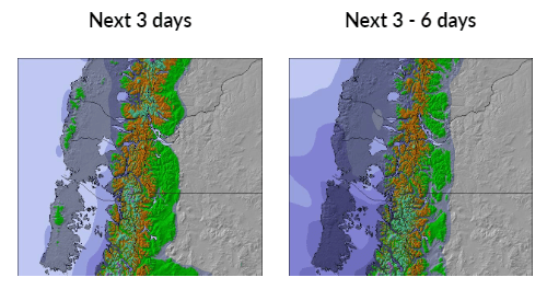
The upcoming weather outlook for Antillanca predicts a moderate amount of snowfall, with the peak expected on Tuesday night. Temperatures during this period will remain below freezing, with the highest temperature reaching -2°C on Friday afternoon and the lowest dropping to -5°C on Wednesday night. Wind speed will decrease, transitioning from fresh winds coming from the west on Tuesday night to light winds from the west by Thursday night.
(Days 4-6)
From days 4 to 6, anticipate moderate snowfall, reaching its heaviest point on Sunday afternoon. There will be alternating freeze-thaw conditions, with the highest temperature peaking at 2°C on Monday afternoon and the lowest plunging to -3°C on Friday night. Wind intensity will escalate, starting as calm on Friday night and progressing to strong winds from the NNW by Sunday afternoon.
Antillanca Snowfall Forecast
Nevados de Chillan Weather
(Next 3 days)
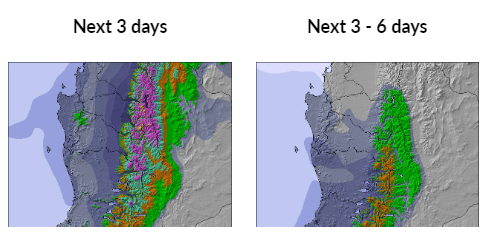
The snow forecast for Nevados de Chillan indicates heavy snowfall, with the most significant snowfall occurring on Tuesday night. Temperatures are projected to remain below freezing, with the highest reaching -2°C on Tuesday night and the lowest dropping to -7°C on Friday morning. The wind is expected to be generally light during this period.
(Days 4-6)
During days 4 to 6, conditions will be mostly dry. There will be alternating freeze-thaw cycles, with the maximum temperature reaching 1°C on Sunday morning and the minimum dropping to -6°C on Friday night. Wind will be generally light.
Nevados de Chillan Snowfall Forecast
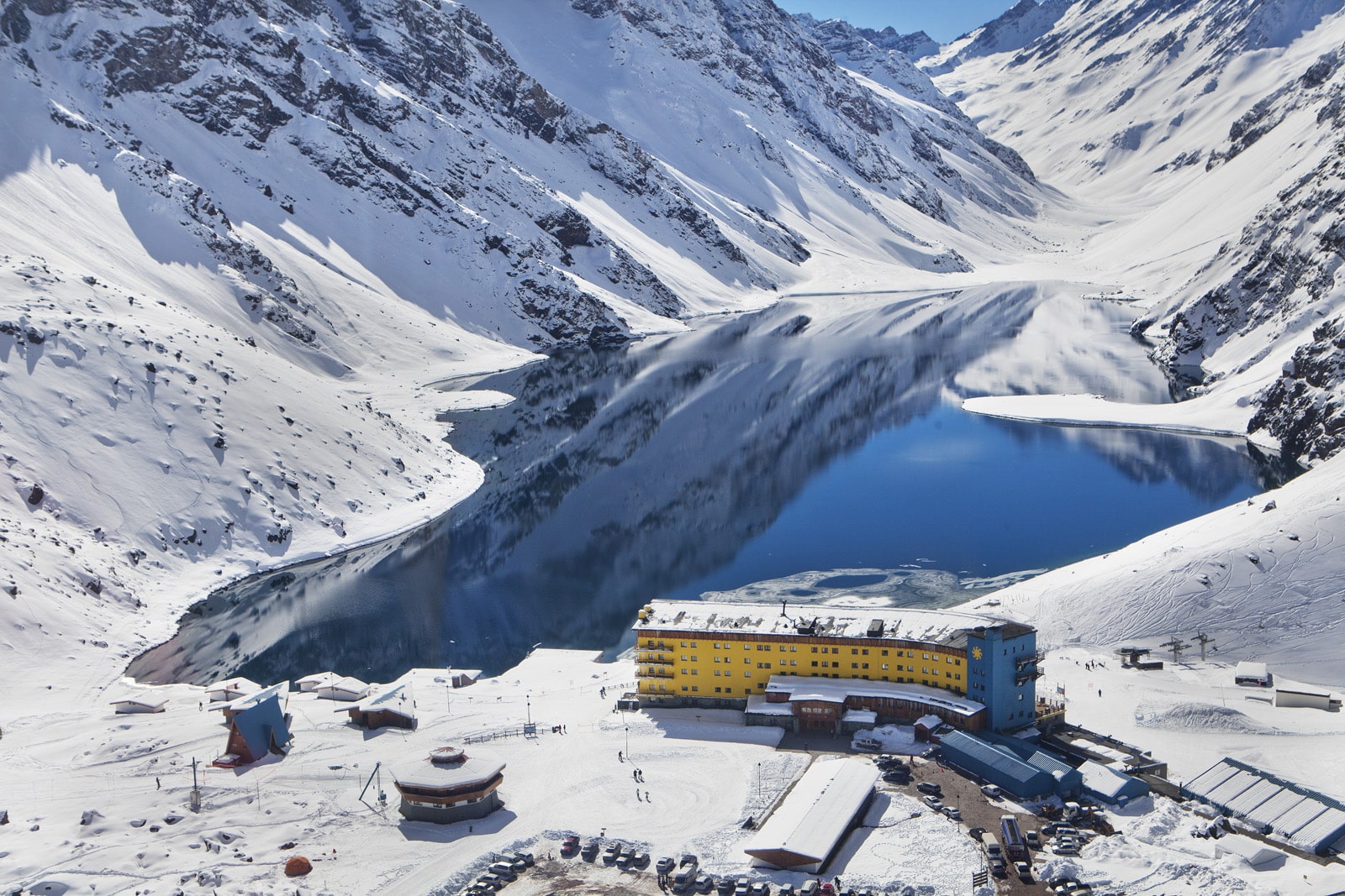
Portillo Weather
(Next 3 days)
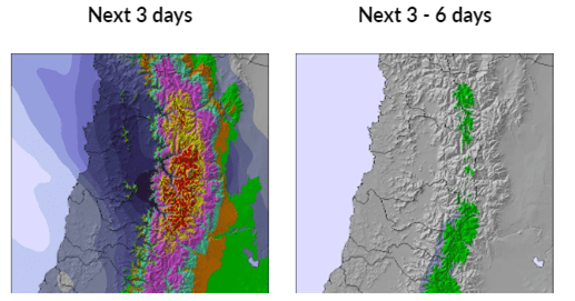
Portillo is expected to receive heavy snowfall, with the most substantial snowfall anticipated on Tuesday night. Temperatures will remain below freezing, reaching a maximum of -1°C on Friday afternoon and a minimum of -5°C on Wednesday night. The wind is likely to be generally light during this period.
(Days 4-6)
During days 4 to 6, conditions are expected to be mostly dry. You can anticipate freeze-thaw cycles, with the maximum temperature reaching 1°C on Sunday morning and the minimum dropping to -5°C on Friday night. The wind is likely to be generally light.
Portillo Snowfall Forecast
La Parva Weather
(Next 3 days)
The snow forecast for La Parva indicates a heavy snowfall, peaking on Tuesday night. Temperatures will be below freezing, with the highest expected at -3°C on Friday afternoon and the lowest at -7°C on Thursday night. Wind strength will decrease, shifting from fresh winds from the WNW on Tuesday night to light winds from the NW by Friday morning.
(Days 4-6)
During days 4 to 6, conditions are projected to be mostly dry. Temperatures will remain below freezing, with the maximum temperature expected to be 0°C on Sunday morning and the minimum dropping to -6°C on Friday night. Wind will be generally light.
La Parva Snowfall Forecast
Source: Snow-Forecast