The Bureau of Meteorology forecasts a high-pressure ridge over the Tasman Sea will extend a ridge over Victoria until Thursday, ahead of a cold front approaching from the west. The cold front will cross the State on Friday before the next high-pressure ridge begins to build over the west of the State on Saturday and extends over the State on Sunday.
Patchy morning fog in the north and Gippsland, clearing to a mostly sunny morning. Clouds increasing with scattered showers developing in the west in the evening. Isolated showers develop over the northeast ranges during the evening. A mild to warm day with moderate to fresh northerly winds, tending strong and gusty about elevated areas is expected tomorrow while cloudy with widespread scattered showers across the State, tending widespread about the southwest and the eastern ranges. Mild with moderate to fresh north to northwesterly winds, tending strong and gusty about elevated areas during the morning. Winds will shift a cooler southwesterly from the west during the late afternoon on the 4th of August and showers falling as snow above 1500 meters from the afternoon of the next day.
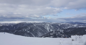
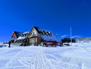
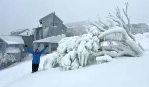
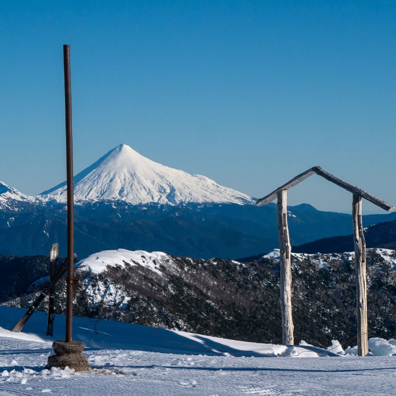
According to J2Ski, the next notable snow forecast (for Mount Buller) is 2.5cm, expected on 15 August. The deepest snow in Victoria is in Hotham which is reporting snow depths of 60cm on the upper slopes and 46cm lower down.
Victoria experiences a variable climate with chilly winters and snowfall in the northeastern region. The southern coast is generally cooler than the inland areas, and the highest elevations in the mountains can experience temperatures below freezing point. Ski resorts in Victoria offer a range of snow conditions and snow depths, and coping strategies have been developed to ensure there is some snow even in the ‘bad times’. It is recommended to check the local weather forecast and snow reports before planning a trip to ensure a safe and enjoyable winter vacation.

