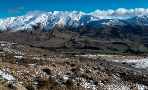
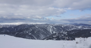
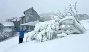
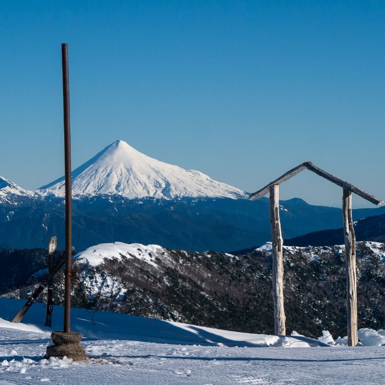
Australia’s Alps have experienced a cold and wet start to winter, with snow falling in several ski resorts and frost covering large parts of south-eastern Australia. A strong cold front crossed the region in mid-June, bringing a significant temperature drop and heavy bouts of snow in Alpine areas. The cold front also delivered 30cm of accumulated snow to Mount Hotham, according to the resort.
The cold snap came as a surprise after a mild start to winter, which officially began on June 1st according to meteorological standards. However, some argue that winter should start on June 21st, the winter solstice, when the sun reaches its lowest point in the sky. Regardless of the definition, the weather has certainly felt wintry in the past week, with Sydney’s Olympic Park recording its coldest June morning on record, dropping to 1.8 degrees Celsius.
The cold weather is expected to continue for the rest of the week, with widespread frost forecast for inland southern Queensland, most of inland New South Wales and Victoria, and north-eastern Tasmania. The overnight minimum temperatures are likely to fall to near or below freezing in these areas, while some parts of southern Victoria, New South Wales, and Tasmania will struggle to reach double digits during the day. These temperatures are between 4 and 8 degrees below average overnight and up to 6 degrees below average during the day.
The ski fields of south-east Australia are enjoying the snow conditions, with some resorts opening earlier than usual. Perisher ski resort said it was experiencing blizzard conditions on Monday morning after 3cm of snow overnight. Hotham ski resort reported 12cm of fresh snow on Sunday morning and more snowfalls throughout the week. The Australian Alps could receive between 10cm and 20cm of snow on Monday, with 30cm to 40cm possible in some spots.
The winter weather has also brought some challenges for travellers and residents, especially those who are not used to driving in snowy or icy conditions. Drivers are advised to check road conditions before travelling and carry snow chains if necessary. Some roads may be closed or restricted due to snow or ice. It is also important to dress warmly and stay hydrated in the cold weather.
The cold front that brought the snow to Australia’s Alps is part of a larger weather system that is affecting most of the country. A thick rain band, fuelled by tropical moisture, is set to deliver rain to every state and territory by the end of the week. The rain band has already reached Western Australia, where it has caused flash flooding and road closures in some areas. The rain band will move eastwards across the country, bringing showers and thunderstorms to many regions.
The weather outlook for Australia is varied and unpredictable, as different climate drivers influence the patterns and trends. The Bureau of Meteorology provides regular updates and forecasts on its website and social media channels. For those who love snow, this week has been a treat, but for others it has been a challenge. Whatever the weather, it is always wise to be prepared and informed.


